There has been a burst of commentary over the past few days about the overtly racist Africa skit that aired during the official Spring Festival Gala last week on China Central Television. I won’t recap the arguments here, except to note that we don’t need to read intent to appreciate the very real racist impact of a Chinese actress wearing blackface and butt padding to portray an African mother figure. Despite this well-intentioned argument, the link between racism and intentionality is a commonplace misunderstanding of the complex dynamics of racism.
If we do look at the intent behind the Africa skit, however, it’s not hard to make out that the purpose of Chinese leaders in airing the segment was to promote China’s strategic relationship with Africa through its Belt and Road Initiative. At the end of the skit, Lou Naiming, the Chinese actress playing “Mama” in blackface, praises a China that “has done so much for Africa,” and declares with feeling: “I love Chinese people! I love China!“
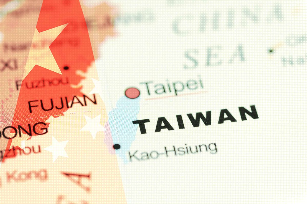
The Belt and Road theme figured strongly in this year’s Spring Festival Gala, and it directs us to a second controversy, one that has gotten far less air time outside China.
During a special segment under the title “A National Treasure Returns Home” (国宝回归), actor Zhang Guoli introduced a mysterious “special guest” who “left the mother country in the 1930s and drifted overseas for more than 80 years.” The guest, a “green-black scroll” measuring over 30 meters in length, was now “returning home.”
Shan Jiaxiang (单霁翔), director of the Palace Museum, explained to the audience that this scroll had been lost to Japan in the 1930s, but in 2002 was purchased by a Beijing auction house and returned to China, where it was subsequently donated to the Palace Museum after being purchased by Hong Kong tycoon Hui Wing-mau, who joined Zhang and Shan on stage.
“It’s name is ‘Landscape Map of the Silk Road’,” said a slightly uneasy looking Shan Jiaxiang.
“Would you like to see this ‘Landscape Map of the Silk Road!” Zhang boomed out to the audience.
“Yes!”
Shan explained that this was “a map of the Silk Road that was drawn during the reign of the Jiajing Period of the Ming dynasty.” It drew out 211 geographical coordinates between the city of Jiayuguan (in present-day Gansu province) in the east and Bakkah (present-day Mecca in Saudi Arabia) in the West, and also described customs and local conditions in ancient cities along the route.
The discovery of the painting, the segment explained, had “epoch-marking significance” (划时代意义) for the archeology of the Silk Road. “Yes, it is extremely valuable,” said Shan, following Zhang Guoli’s lead. “It proves that we Chinese already had a clear understanding of the path of the Silk Road as early as the middle of the 16th century.”
Here, in the form of a designated “national treasure” returned to its rightful home, was irrefutable proof of the Chinese agency behind the whole idea of the Silk Road, vesting Xi Jinping’s visionary Belt and Road Initiative with a sense of historical destiny.
This is a good time to remember that old rule of thumb: if something seems too good to be true, it probably is.
In any case, the gala’s “Landscape Map of the Silk Road” (丝路山水地图) quickly sparked a controversy online in China. Internet users pointed out that many things about the map had been tampered with or misrepresented, including its name and its age. These alterations had been made, they suspected, in order to make a stronger political case for China’s Belt and Road Initiative.
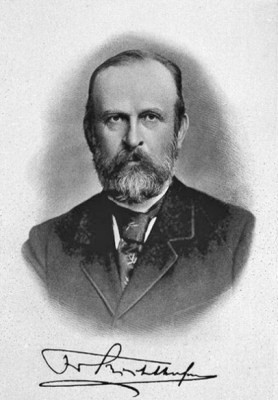
Beginning with the question of the map’s name, it is common knowledge among historians that the term “Silk Road” did not appear until 1877, in a map collection by German geographer Ferdinand von Richthofen. In this work, called China, Richthofen refers to the term twice, first as he traces the history of trade routes between Europe and China through Central Asia, and second in reference to a map by Greek geographer Marinus of Tyre, which Richthofen calls “die Seidenstraße des Marinus,” or “the Silk Road of Marinus.”
At this point, a bit of basic math is required. In the gala segment, “A National Treasure Returns Home,” Shan Jiaxiang dates the map in question back to the “middle of the 16th century.” That means that this map called “Landscape Map of the Silk Road” is supposed to have been created more than 300 years before the term “Silk Road” was actually coined — again, by a German geographer.
It’s completely impossible, of course, that a map drawn during the reign of the Jiajing Emperor (1522-1566 A.D.) in the Ming dynasty would be given a name including a term that would not appear until more than three centuries later. But Shan Jiaxiang is not a career archaeologist or geographer, but a career official, and so long as he can ensure that this map has “epoch-marking significance” for the political archaeology of the new Silk Road, he presumably cares little about the archaeology of the “Silk Road” concept itself.
Another key problem is that much of the trade through Central Asia was in fact cut off by the middle of the Ming dynasty, and these routes were diminishing in importance. As enthusiasts and amateur historians on China’s internet pointed out, it seems highly improbable that Chinese at this point during the Ming dynasty would painstakingly produce a map of the route.
The age of the map in question has in fact long been contested. As Shanghai’s The Paper noted in a backgrounder on the scroll, it was previously in the collection of Japan’s Museum of Fujii Yurinkan, where experts had dated it to the Qing dynasty. After the scroll was purchased and returned to China in 2002, it was referred to, as in this news story on its appearance at an auction by Poly Auction, as the “Mongolian Landscape Map,” using the name apparently added to the back of the map by “Shang You Tang” (尚友堂), a Beijing bookshop, sometime at the end of the Qing dynasty or the beginning of the Republican period.
Professor Lin Meicun of Peking University began researching the “Mongolian Landscape Map” in 2004, and subsequently argued that it dated instead to the middle of the 16th century. In 2013, Lin gave a talk at Cambridge, the Facebook announcement offering this description:
This lecture introduces a 16th century Ming dynasty map which covers the Silk Road regions in the Mongolia Empire. Recently discovered in Japan, the Mongolian Landscape Map (蒙古山水地璺) is a hand scroll in ink and color on silk, 0.59 meters wide and 31.2 meters long.
Professor Lin has insisted the scroll was used by the Jiajing Emperor during the Ming dynasty, but the exact nature and origins of the work remain disputed.
In an article posted yesterday to the Caijing website, columnist Yang Lang (杨浪) said it was reasonable “from an academic standpoint” to question the naming of the scroll and its age and provenance. The reference to the “Silk Road” in the name given during the CCTV gala, which has been used by state media for a number of years, is clearly problematic, said Yang, given the origins of the term in the 19th century. Nor is there any indication that the name on the scroll itself, “Mongolian Landscape Map,” offered more than a century ago by the Beijing bookshop, is any more authentic. Yang also noted intriguing comments from another expert writing online, who said that the “map” seemed to resemble in every detail — including its length — a scroll listed in a record of imperial palace treasures from the Qing dynasty.

Earlier today, The Paper ran an interview in which Nie Chongzheng (聂崇正), an expert in ancient drawings at the Palace Museum, directly voiced his doubts about the scroll. Nie, who claimed to have studied the scroll personally, said he believed that the work was not, as characterized during the CCTV gala, a scroll painting from the middle of the Ming dynasty. “My feeling,” he said, “is that this is a painting work from the early Qing.”
The interview with Nie — which bore the headline, “Ming Painting or Not? Behind the Renaming of the ‘Mongolian Landscape Map’ as the ‘Landscape Map of the Silk Road'” — is now, quite tellingly, missing from the website of The Paper. It can still be viewed at Sina.com, however.
Dating the so-called “Landscape Map of the Silk Road” to the early Qing dynasty puts it back anywhere from 100 to 200 years later than claimed in the CCTV gala segment.
Why should that matter at all?
We understand why if we look at the state propaganda surrounding the scroll. Here, for example, is a piece run by China Daily, published by the State Council Information Office, nearly five years ago, just months before the unveiling of the Belt and Road Initiative:
Researchers have discovered that a document long thought to be a landscape painting from the Qing Dynasty, is in fact one of China’s earliest world maps from the Ming Dynasty. . . . Matteo Ricci, the Italian missionary who arguably published the first Chinese-language world map during his long stay in China, was believed to be the source of Chinese people’s knowledge of world geography. But now a newly appraised Ming Dynasty (1368-1644) world map proves that the Chinese’s exploration of world geography had started long before his arrival in 1583.
In dating this hand scroll back to the reign of the Ming dynasty Jiajing Emperor (1522-1566 A.D.), in other words, official China is in a race against history. It must get its mapmakers far enough back into the 16th century to pre-date the arrival of Matteo Ricci. The date to beat: 1583.
1566 certainly does the trick. But then, isn’t that almost too good to be true?